

Explore Coverage
Review the public imagery coverage map to see what is available, in progress, and planned.
Open Coverage Map ↗Explore aerial imagery coverage and geospatial data services built to support commercial real estate research, site selection, land evaluation, and portfolio analysis.
Aerial imagery can add valuable context when screening acquisitions, comparing locations, evaluating surrounding land use, and reviewing development around an asset. Explore current coverage or contact us to discuss a custom geographic area or data workflow.
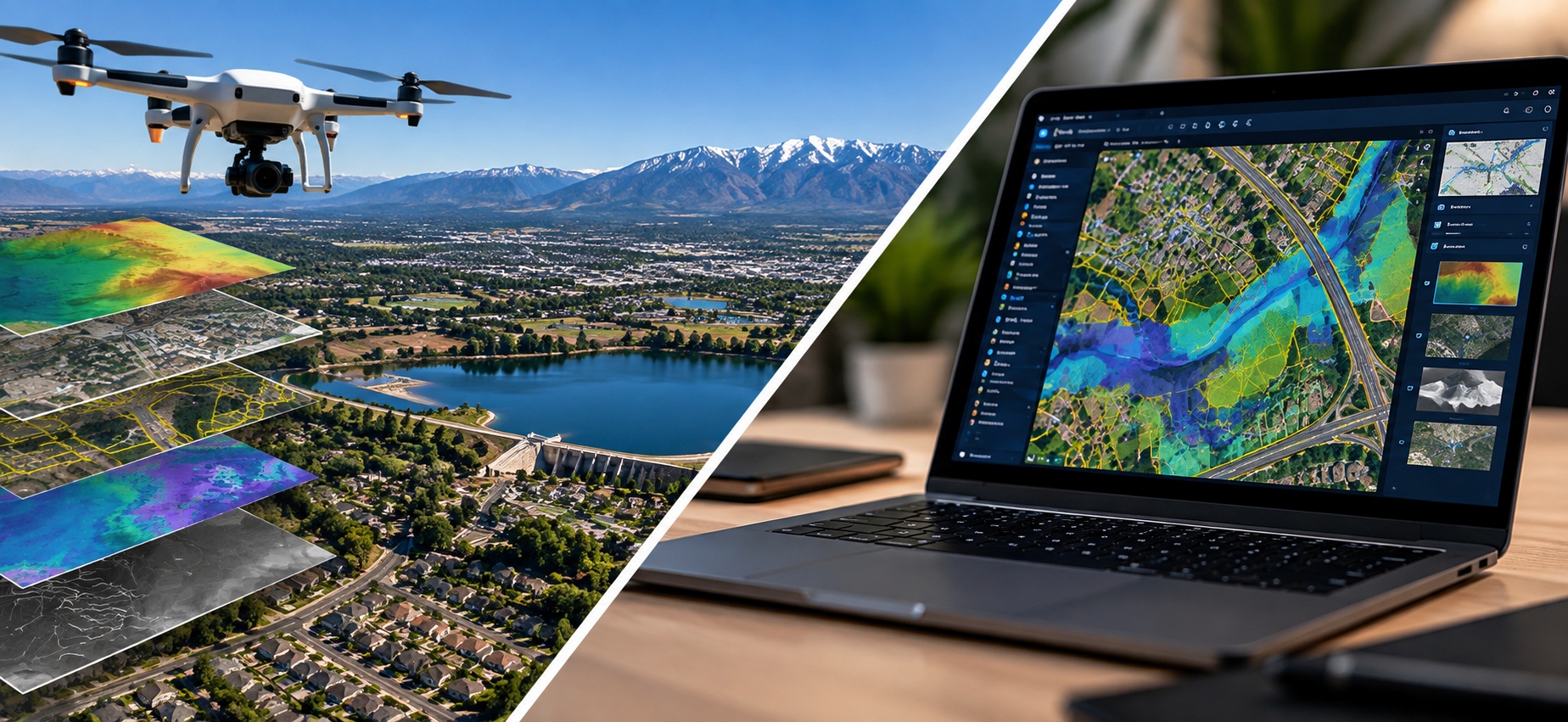
Start with the coverage map, or talk with us about data needs specific to your market and workflow.
Review the public imagery coverage map to see what is available, in progress, and planned.
Open Coverage Map ↗Tell us about a property, market, or geographic area you are researching and the imagery or geospatial data that would help.
Contact Mad Man Data →