
Featured Platform
Mad Man Maps
See more than the property. Explore aerial imagery coverage and discover geospatial data services for property research, site selection, and commercial real estate workflows.
Explore Mad Man Maps →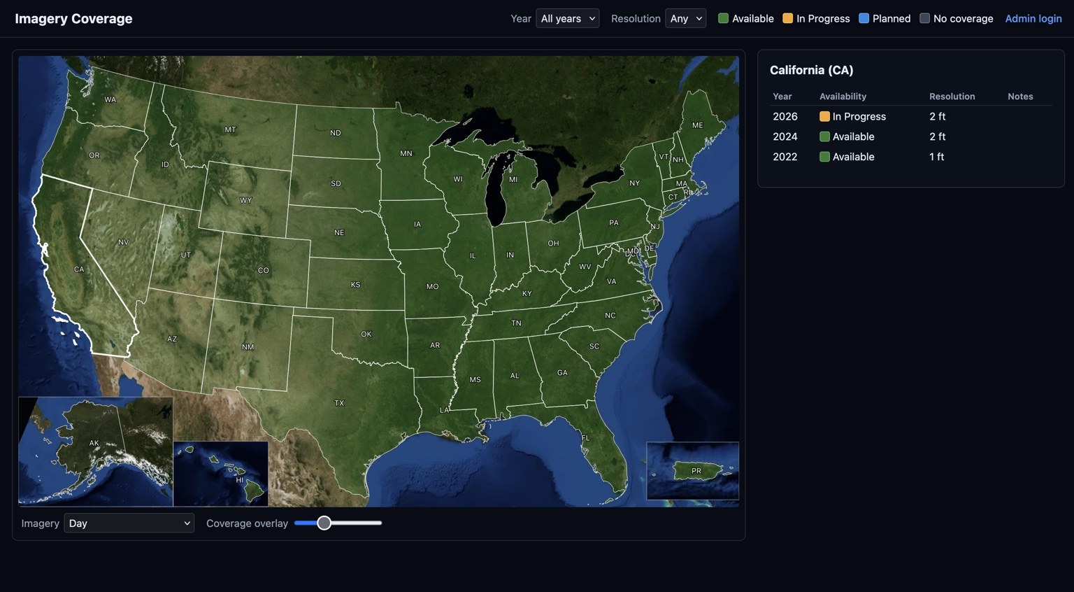

We turn complex data into clear, actionable solutions for a smarter, more sustainable future.
See more than the property. Explore aerial imagery coverage and discover geospatial data services for property research, site selection, and commercial real estate workflows.
Explore Mad Man Maps →
Turn water utility data into a clearer operational picture. WaterLogicX brings together consumption, meters, properties, GIS, conservation analytics, and reporting to help water agencies understand their systems and make better-informed decisions.
Explore WaterLogicX ↗ Platform Overview →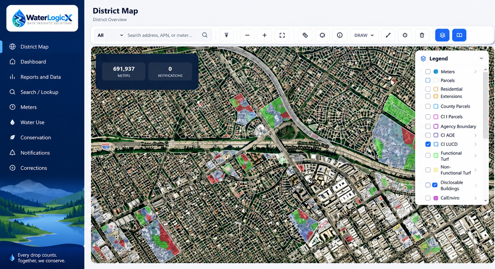

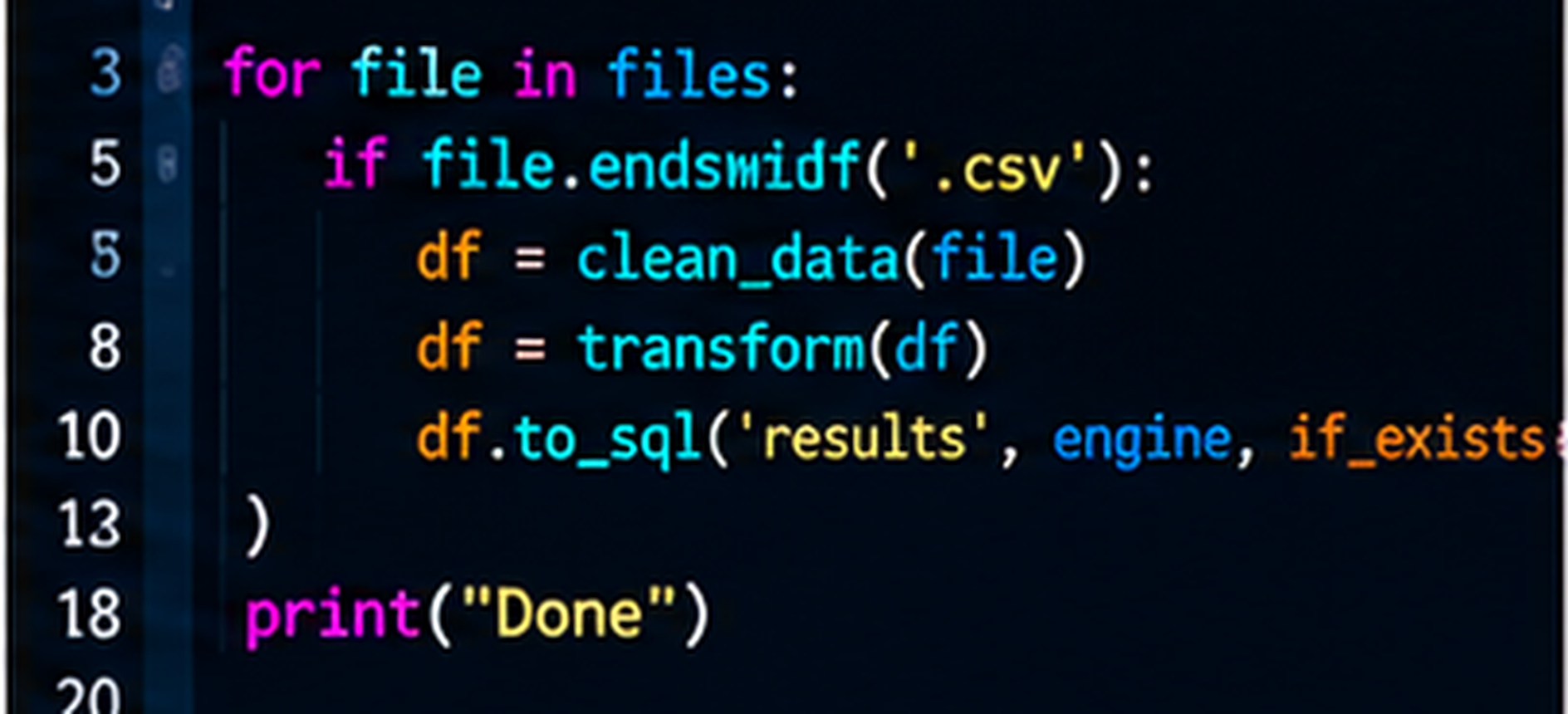
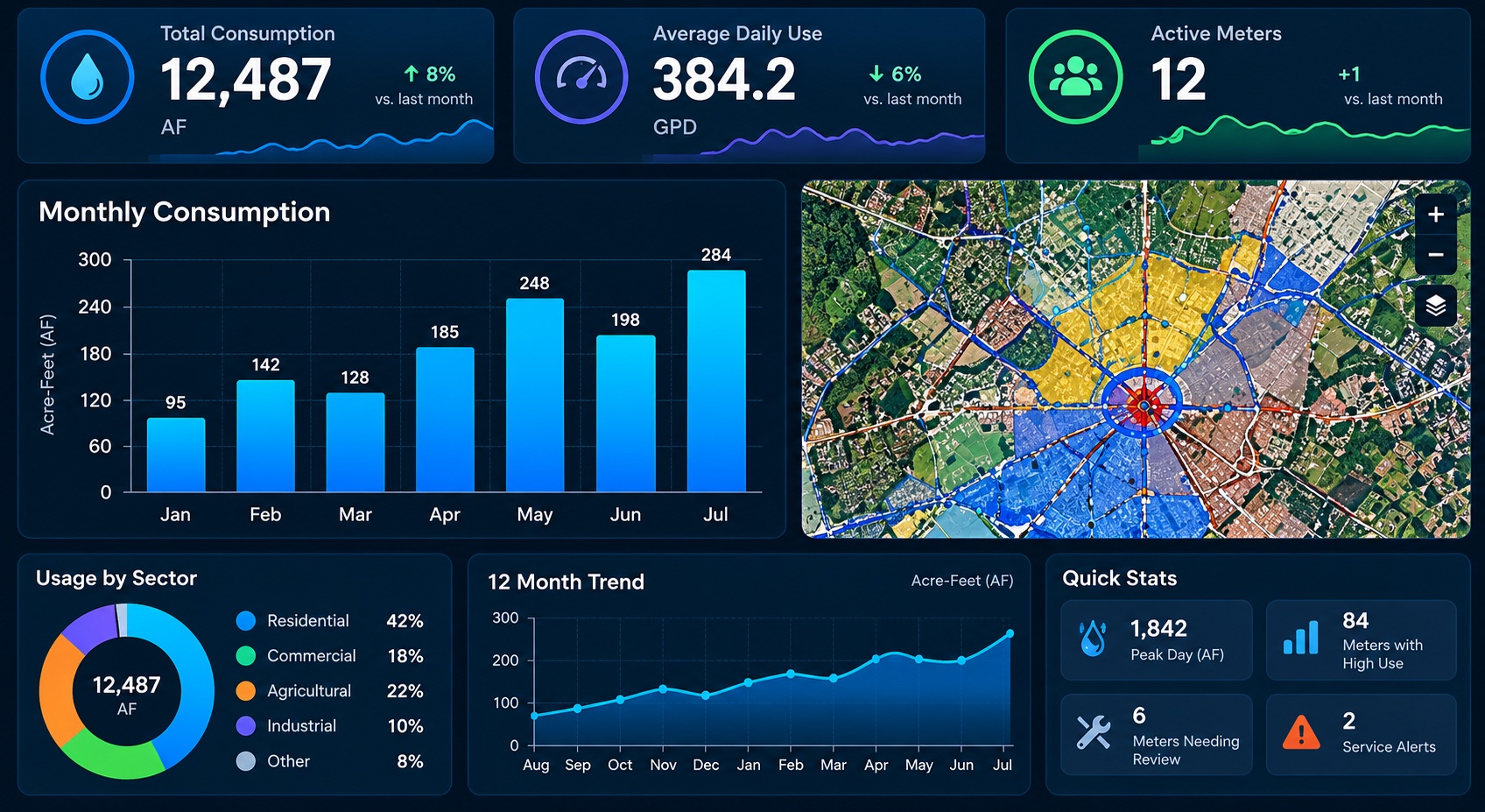
We connect your data, automate the work, and turn it into information you can use.
ETL · VALIDATION · AUTOMATION
PostgreSQL · PostGIS
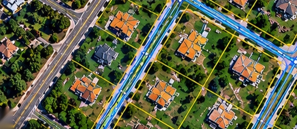
Aerial and satellite imagery isn't just a pretty picture — it's a powerful data source. We process, analyze, and derive real-world information from imagery to help you see more, understand more, and do more.